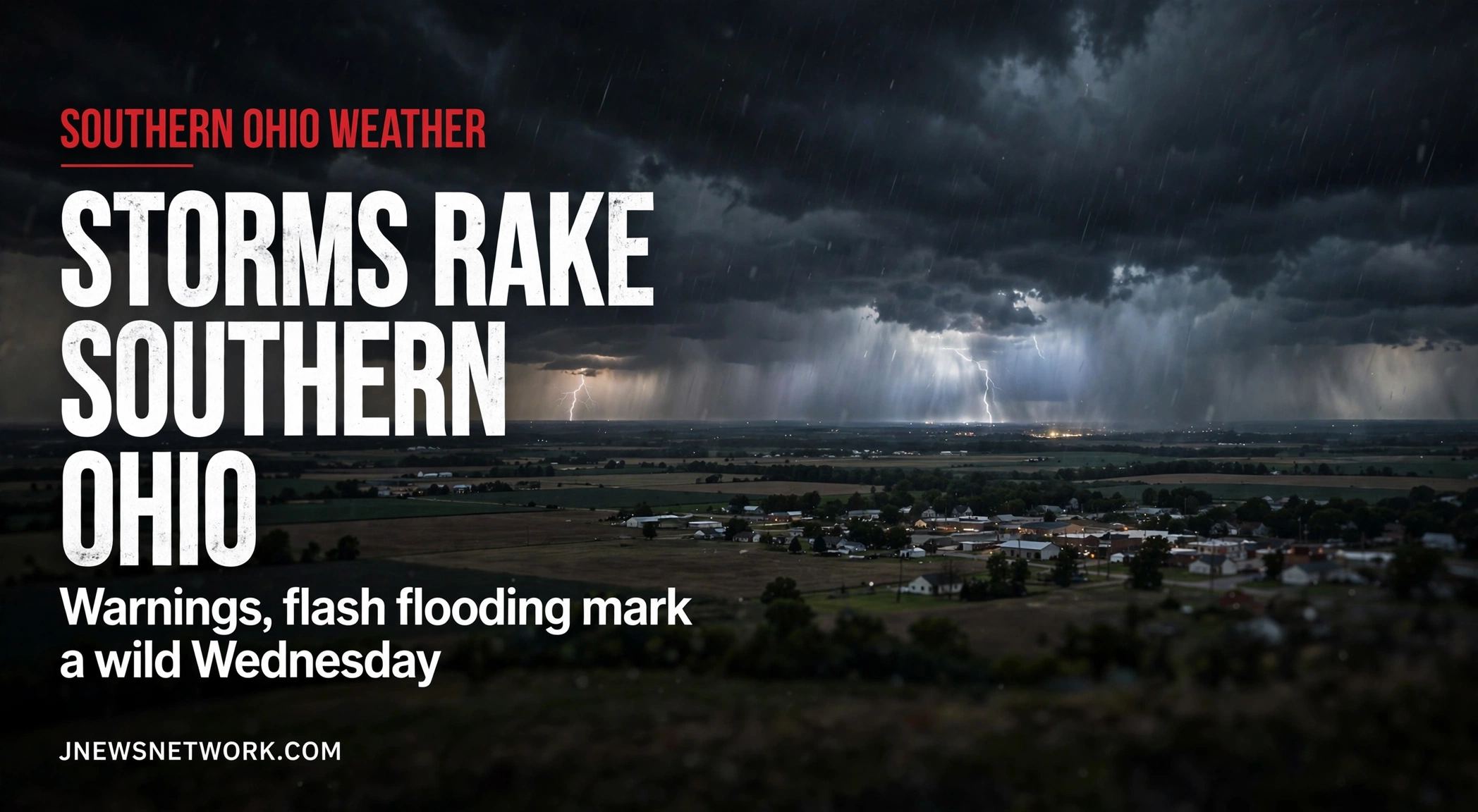
CHILLICOTHE, Ohio — A slow-moving round of thunderstorms rolled across southern Ohio on Wednesday, Oct. 14, touching off severe thunderstorm warnings in multiple counties and flash flooding in the McConnelsville area.
No injuries were confirmed as of Wednesday evening.
The most serious flooding came in Morgan County. The National Weather Service in Charleston issued a flash flood warning at 4:24 p.m. for northwestern Athens County, Morgan County, southeastern Perry County and northwestern Washington County, in effect until 7:30 p.m. The Weather Service said flash flooding was already occurring around McConnelsville after 1 to 2 inches of rain had fallen, and listed Nelsonville, Glouster, Shawnee, New Straitsville and Stockport among the locations at risk. Drivers were told never to cross flooded roads.
Farther south, the Charleston office warned Gallia County, southern Jackson County and north-central Lawrence County at 4:54 p.m., tracking a storm near Clarktown moving east at 40 mph with 60 mph wind gusts, and urging residents to remain alert for a possible tornado. The warning was extended at 5:26 p.m. until 6 p.m. as the storm moved toward Oak Hill.
In Scioto County, the Weather Service in Wilmington warned at 4:52 p.m. for a storm over Rosemount moving east at 30 mph with 60 mph gusts; an update at 5:10 p.m. placed the storm near South Webster. Portsmouth, Wheelersburg, New Boston, Lucasville and Minford were among the locations in its path. The warning ran until 5:30 p.m.
The first warning of the afternoon covered northwestern Highland County, central Clinton County and southeastern Warren County until 3:45 p.m., also for 60 mph gusts.
The storms formed in a pattern forecasters had flagged early in the afternoon: heavy rain training over the same areas, falling at 1 to 2 inches an hour, with isolated totals of 2 to 4 inches possible. A series of strong-thunderstorm statements tracked cells through communities from Glouster and Lancaster to West Union, with gusts of 40 to 50 mph and small hail, and flood advisories were posted for Fairfield County and for Champaign, Clark and Madison counties.
All severe thunderstorm warnings had expired by 6 p.m. Wednesday, and the flash flood warning ran until 7:30 p.m., with forecasters saying the flood threat would linger into the evening before the rain tapered off. Warnings throughout the day were carried live on God’s Eye Ohio and the Weather X Ohio page.