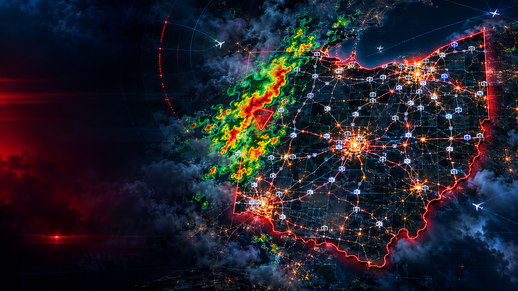
God’s Eye Ohio: quick user guide
The screen
- The map is on the left (or on top, on a phone). The side panel with tabs is on the right (or below, on a phone).
- The top bar shows live counts: cameras, cameras in view, weather alerts, incidents and aircraft. The dot is green when data is loading normally.
- The region buttons in the top bar (Statewide, Cleveland, Akron, Columbus, Cincinnati, Dayton, Toledo) jump the map to that area.
Map
- Zoom with pinch, scroll or the +/− buttons. Drag to move.
- Use the layer menu to switch between street, dark and satellite maps.
- Switch layers on or off with the checkboxes: Radar (with Pause and an opacity slider), Flights, Storm reports and Today’s outlook.
- Click a camera dot to open it.
Side panel tabs
- Feed: the cameras in your current map view. Click one to see its views. Click a picture to enlarge it.
- Wall: a grid of camera pictures. Choose how many tiles and how big. Click Show map view to go back.
- Alerts: active National Weather Service warnings. Click one to read it, outline it on the map, and use Cameras near here.
- Roads: crashes, construction and closures. Click one for details and Cameras near here.
- Live: a running activity feed. It has Sound, Auto-pilot (the map follows new events), Desktop alerts, and Test alert and Storm test buttons to check them.
- Tour flies between random cameras. Refresh reloads the pictures. S / M / L / XL change picture size.
Enlarged picture
- Use Prev and Next or the left and right arrow keys. Widescreen fill stretches the picture. Full screen fills the browser. Close, or Esc, exits.